Article • Oil & Gas, Pipeline, Power Utilities, Water & Wastewater
Method in the Madness: Satellite Data Revolutionizes Risk Management for Energy and Water Infrastructure
Read more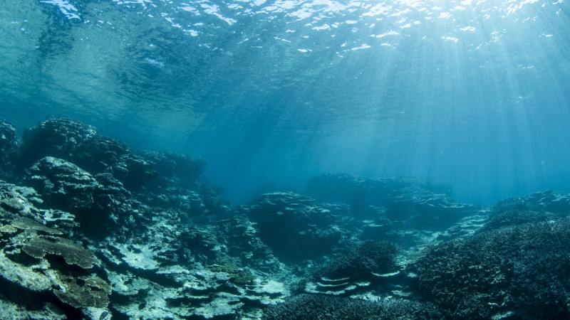
Article • Oil & Gas, Pipeline, Power Utilities, Water & Wastewater
Measuring Bathymetry Using Satellite Imagery and Satelytics
Read more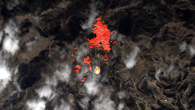
Article • Oil & Gas, Pipeline
Infographic: Detecting Methane Leaks Using Satellite Imagery and Satelytics
Read more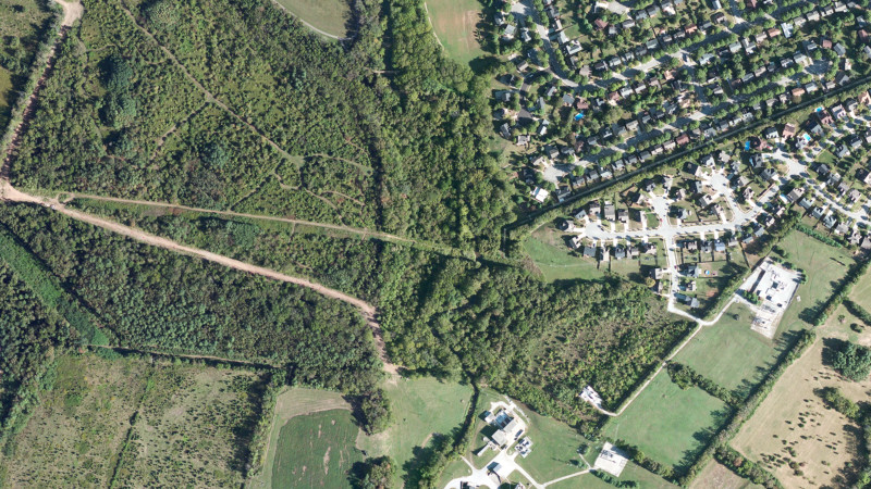
Article • Oil & Gas, Pipeline
Detecting Pipeline Right-of-Way Encroachments Using Satellite Data: Vehicles, Heavy Machinery, New Construction, and Other Human Caused Changes
Read more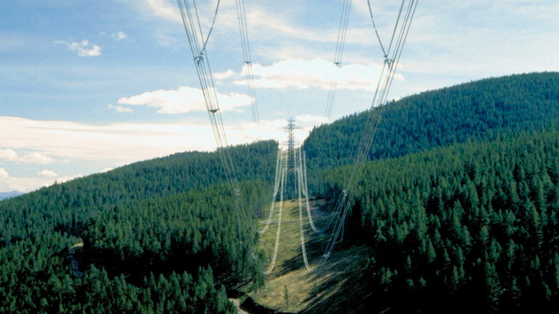
Article • Oil & Gas, Pipeline, Power Utilities
Using Satellite Imagery and Satelytics for Vegetation Management within Pipelines and Electrical Transmission Line Right-of-Ways
Read more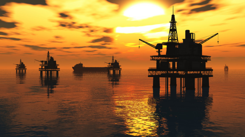
Article • Oil & Gas
Detecting Offshore Oil Spills Using Satellite Data: A Case Study in the Gulf of Mexico
Read more
Article • Oil & Gas, Water & Wastewater
Detecting Heavy Metals Using Satellite Imagery: From the Alaska North Slope to the Streets of Los Angeles
Read more
Article • Pipeline, Power Utilities
Using Satellite Data to Analyze and Measure Thermal Plumes: A Case Study on Southern Lake Michigan
Read more
Article • Oil & Gas, Pipeline
