• Power Utilities

• Power Utilities
Prospective customers often ask me what Satelytics' role is in regulatory compliance. My usual answer is, “It depends on you and your relationship with the regulator.” Satelytics does not work for regulators nor non-governmental organizations. We will, however, work WITH your regulator upon request by you, the customer.
For gas and electric utilities, regulation might come from the federal or state levels or both. In my home state of North Dakota, regulation for things like rates and construction comes from an elected Public Service Commission, while environmental oversight comes from the Department of Environmental Quality. Two sitting bodies, both with rules by which utilities must abide, and federal requirements on top of that.
In the utility sector, oversight starts when a grid or gas network is being planned and continues through to operation. Satelytics’ customers use our land classification and vegetation tools in the site planning process. I spoke recently with an environmental consulting firm about a land review project they had just completed on behalf of an electric utility that wanted to install 150 miles of high-voltage transmission line. The consultants told me they had been out in the field for a week with their drone gathering images of the land corridor. Then, they spent another three months with engineers going over the pictures and making notes of what areas would need clearing, how many trees stood in the proposed corridor, steep slopes, water crossings, and more.
With commercial satellite imagery and Satelytics AI algorithms processing on the cloud, this project could have been completed in a few hours.
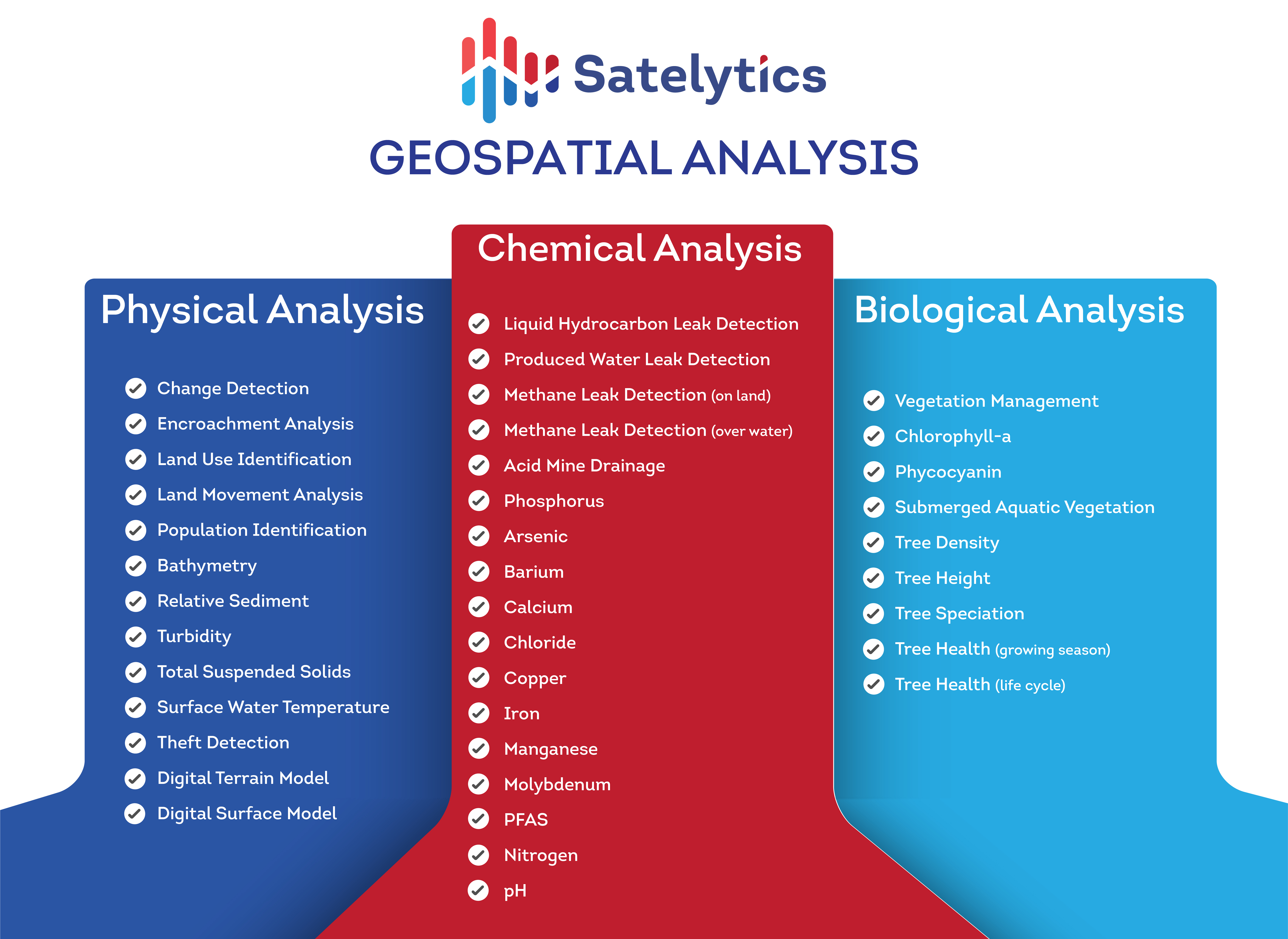
The mission of Satelytics is to prevent consequences and dodge threats facing large infrastructure areas. Regulations may require utilities to conduct regular aerial or ground inspection, document tree cutting, monitor and document damage prevention, or survey pipelines for natural gas leaks. With a robust remote sensing program, you can lower operational risk and product loss while showing regulators you are going the extra mile to protect people and the environment.
We often hear that regulators are accepting geospatial analytics as a reporting source. In recent customer-hosted conversations with state and federal regulators, we have heard broad support for advanced satellite monitoring. As with most of our customers, the oversight bodies want to protect the environment. If geospatial analytics can improve upon current practice, then that is attractive to both companies and regulators.

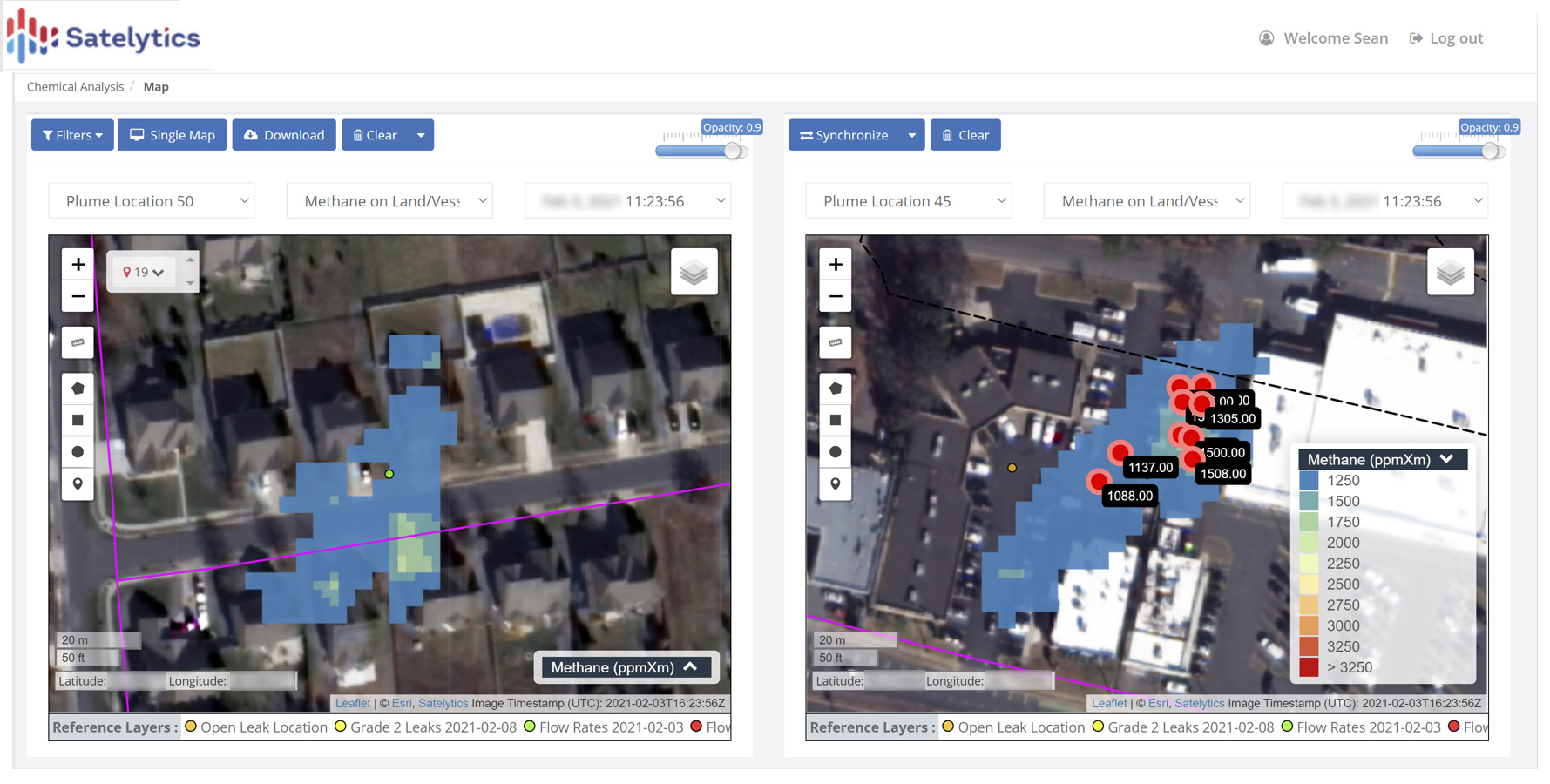
Satelytics' methane detection... demonstrate compliance to regulators.
Regulators have recognized the advantages for these reasons:

Satelytics' algorithms to help you achieve and document compliance.
The regulators with whom we have spoken see geospatial analytics as the future, but why wait for the future when it can be implemented today? Call us to discuss how we can help you get ahead of regulations and improve relations with your regulators.