• Power Utilities

• Power Utilities
A customer called me recently to ask what Satelytics offers to make routine infrastructure inspection safer for his people. I asked how he had heard of Satelytics and what had spurred him to call at this time. The response was sad but, unfortunately, one that I had heard before. The infrastructure for which he was responsible had been going through its annual aerial surveillance program and a helicopter had crashed. The pilot, an employee of the company, died in the crash.
This individual was deeply saddened by the incident. He told me it had caused him to start looking for a better way to inspect infrastructure and reduce risk to his employees and the public.
This is perhaps the most dramatic of incidents related to routine inspection of large asset areas, but many operations managers have had personnel injured in the field or have had to deal with a vehicle accident. No value can be put on the loss of life. It is too precious. We all care about our coworkers and want to protect them in any way we can.
So, what is possible?
Satelytics offers several proven solutions, but this is what I told the man on the phone:
Satelytics’ spectral measurements analyze the infrared bands to detect and, in many cases, quantify constituents in parts per million (ppm) to parts per trillion (ppt) concentrations on water, land, and air. Satelytics can also measure vegetation speciation, health, and density. Using Satelytics is akin to performing spectroscopy, but instead of being done in a lab on a small sample, measurements are completed for billions of pixels/samples using a sensor on a satellite.
A spectral signature is like human DNA. What sets someone from an Irish heritage (me) apart from someone with a German heritage (my wife) would show up in our unique DNA. Similarly, the spectral signature of an oak tree is different from that of a maple tree. A species of cover grass is different than bare soil. The signature of a methane plume reflects sunlight in a manner distinct from that of a vehicle in the corridor, or of a building constructed next to a transmission line. Each measurement is completed on every pixel (down to the square foot) of a defined area of interest.

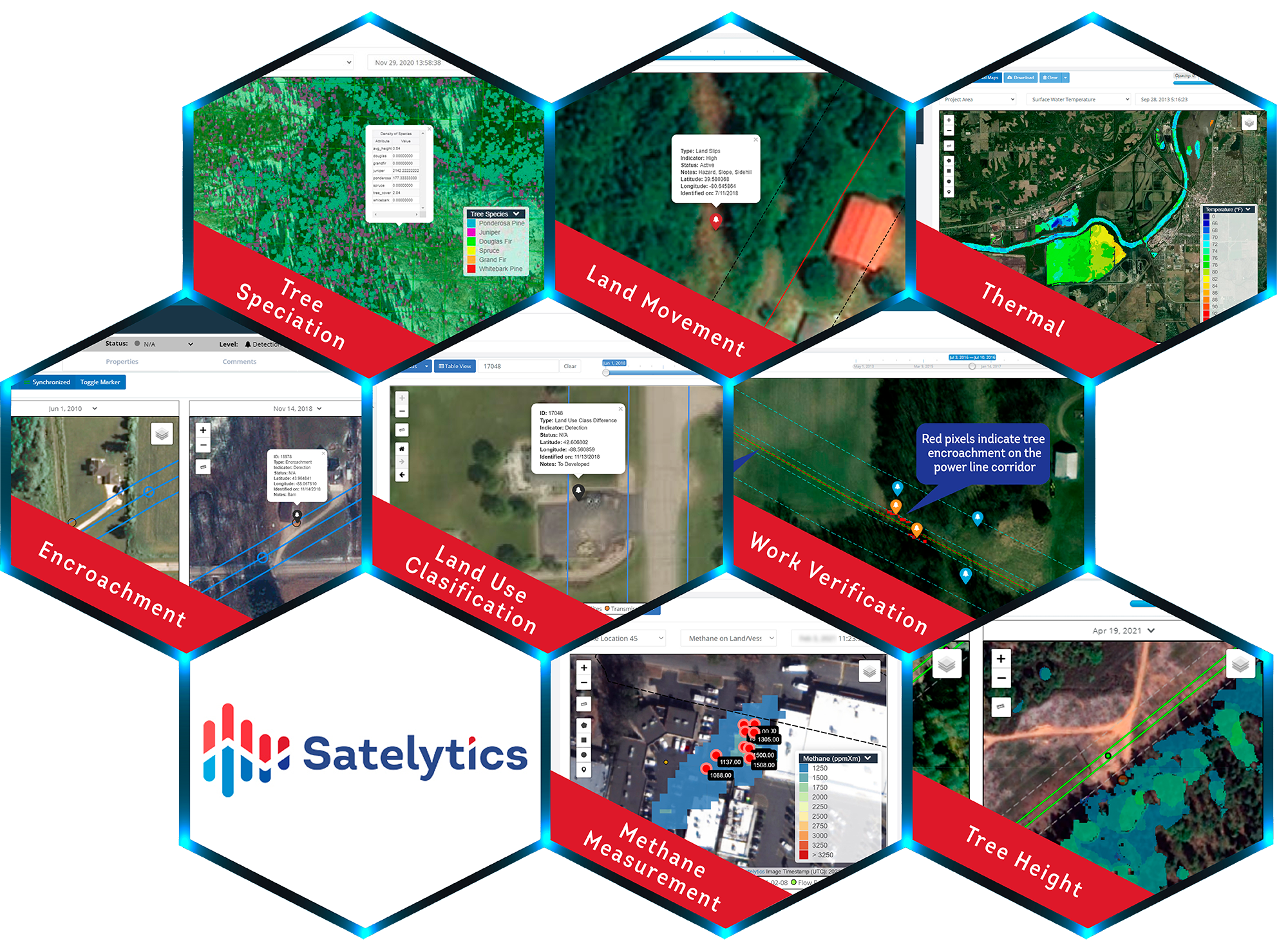
A sampling of Satelytics use cases for power utilities.
Another important decision when transitioning from aerial to satellite observation is observation frequency. Our large utility infrastructure customers sometimes monitor entire areas as often as weekly. More often, companies choose to start with a similar frequency to what they had been using in their aerial programs. Our experience has been that this is usually bi-annually or quarterly as operations teams adjust to a new set of data and workflow.
Aerial observation typically requires subjective interpretation to identify changes to infrastructure that are out of the ordinary. Machine learning and cloud processing of large data sets can automate the survey process. This frees infrastructure managers to decide how and when to respond to the threats identified, rather than spending time and effort on finding threats.
As the industry becomes more comfortable with geospatial analytics, monitoring frequency is increasing, thus diminishing consequences. The rate of adoption of satellite monitoring is also increasing as additional sensor options drive data costs down and increase revisit rates.
Safety is the most important topic for many of our customers. It affects employees, the public, and the safe operation of large logistics networks. One of our customers who runs a large gas operation in Colorado commented when reviewing Satelytics options recently, “We drive 69 million miles per year, each mile is a risk to personnel, property, and its consequences. This is 69 million more than we wish to drive each year. Any reduction in risk most definitely has my attention.”
Is there a better way of managing your assets and reducing risk? Satellite data coupled with science-backed analytics can catapult your safety program to new heights.