• General
• General
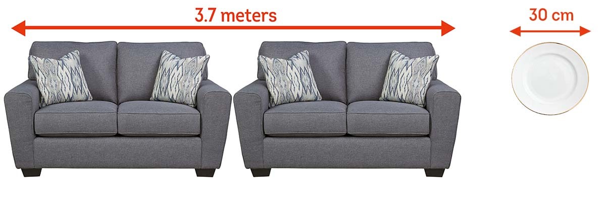
Spatial resolution is a topic we have emphasized repeatedly and will continue to emphasize out of necessity. In the world of geospatial analytics, spatial resolution is critical. Only high-resolution imagery analyzed by Satelytics’ artificial intelligence-based algorithms yields actionable results. Specific location, accurate measurements, and timely results are required to make alerts actionable.
Consider a few examples:
To explain the importance of resolution in a fun way, Satelytics offers the following one-minute video.
Beware of statements that say 30-meter resolution imagery is “high-resolution.” Ask yourself what problems you can identify when each pixel is roughly the size of a football field.
To put it in context, Satelytics typically uses:
We use cookies to analyze our web traffic and to enhance your experience. By continuing to view this website, you agree to our use of cookies.
Our Privacy Policy