• General

• General
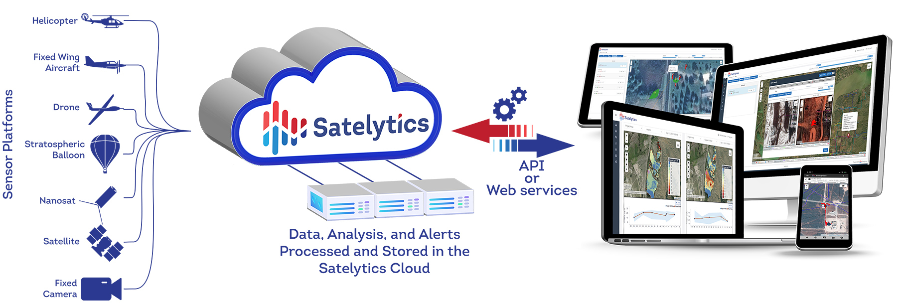
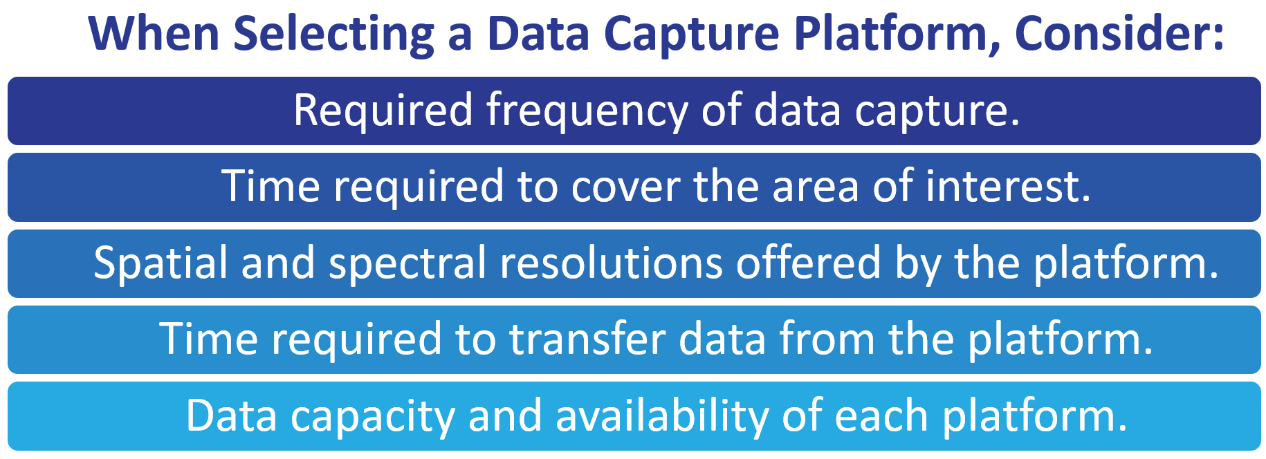
One of the advantages of employing Satelytics’ geospatial analytics to monitor your assets and infrastructure is that we are data agnostic. While this opens doors for serving our customers better, it also presents them with more decisions that need to be made. Perhaps the most important question is: Which data capture platform will best suit your organization’s needs?
It sounds like a simple decision, but there are plenty of variables to compare. Let us make this decision-making process as straightforward and painless as possible.

Let Satelytics help you choose the right data capture platform.
“A common discussion point while exploring what is possible with customers is the question of choosing to use drones, satellites, or fixed-wing aircraft,” says President and CEO of Satelytics, Sean Donegan. “Geospatial analytics does not analyze pictures, but instead, we analyze the spectral signatures found within each pixel of information. So, a clear delineation of what data platform is used — when, where, and why — is essential.”

In many of the industries we serve, assets and infrastructure are spread across large areas of land and waterbodies. “The most practical choice for a majority of use cases is satellites,” Donegan states. “Drones and aerial data capture methods are challenged in frequently covering large areas, compared to satellites that capture large swaths of data quickly from high above the earth’s surface. Processing large volumes of captured data quickly is essential in managing risk, minimizing consequences, and alerting to immediate threat analyses. The transfer of data from satellites to the cloud is significantly faster than waiting for a drone or aircraft to land, then removing the hard drive, then uploading terabytes of data via the internet.”
This is not to say that data platforms like drones and aircraft are not beneficial in specific situations. Satellites are a great investment as the initial data provider, but drones and aircraft can be applied to get a closer look at problem areas detected by satellites. Also, in the case of smaller areas and specific locales, or areas of interest not requiring frequent revisits, the use of a drone or aircraft might be all that is required.
No matter your problem, Satelytics is here to offer the best solutions that will be most beneficial to your organization — starting with selecting the most practical data provider.