• General

• General
Hurricane Ida hit Louisiana and neighboring southern states on Monday. What was expected to be a big storm turned into a Category 4 hurricane in a matter of hours as it approached the coast. In the heart of the storm path, the focus is on survival but when the worst passes, a rapid response is necessary to survey the damage, plan your response, and rebuild critical power infrastructure.
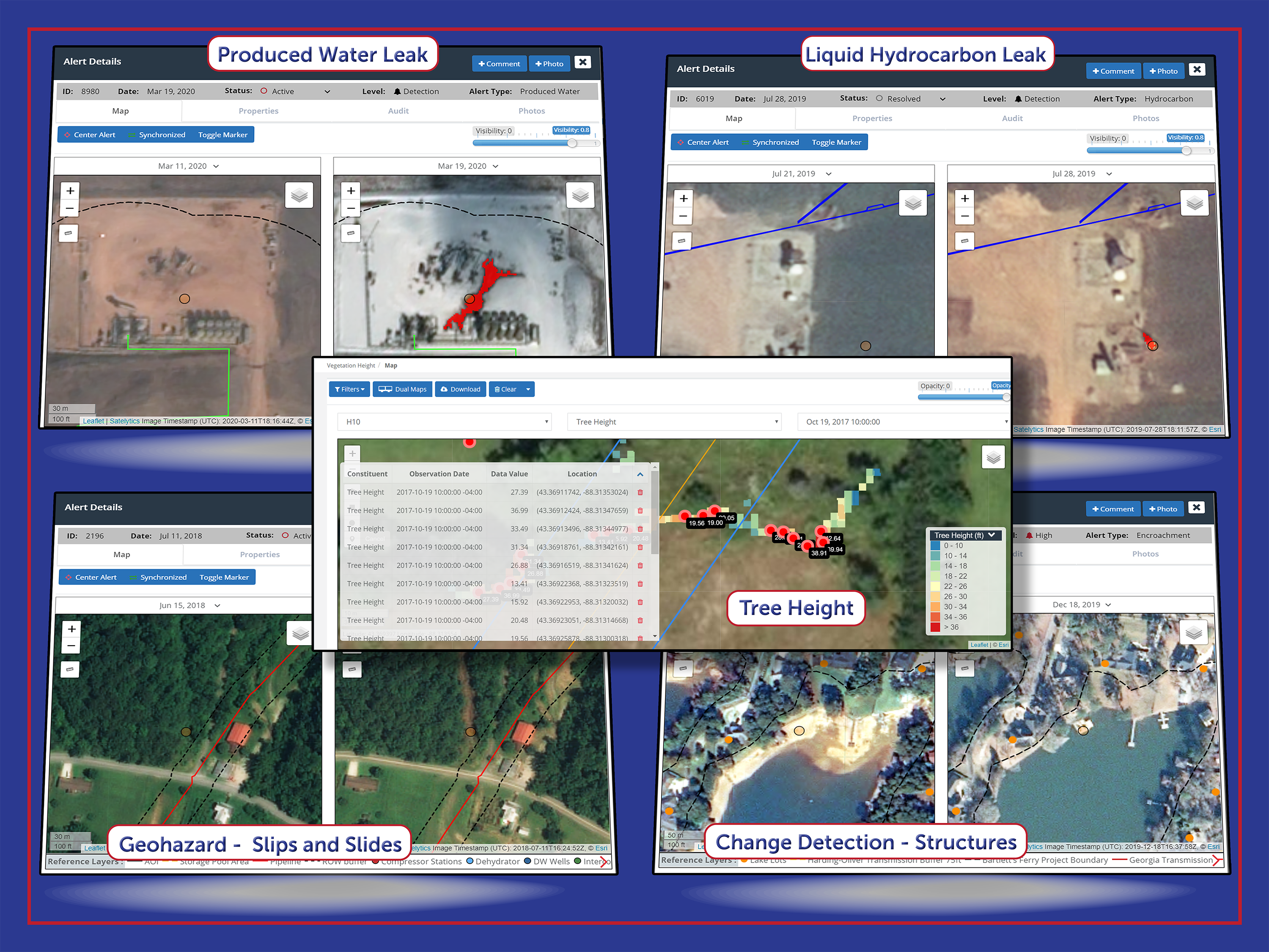
Utilities have emergency plans in place to respond to natural disasters. Increasingly, those plans include remote sensing to optimize resources and minimize network downtime. Geospatial analytics employ change detection algorithms to direct disaster response. We can tell you what assets were affected by the incident and the extent to which they were affected. Satelytics algorithms are specifically tuned to assess:
|
|

Employ Satelytics' change detection to direct your response to disasters.
Satelytics tasks commercial satellites to look at specific areas of interest. Our customers provide us with the GIS shapefile of their infrastructure and any of the above assessments can be made with specificity down to the square foot over large geographical areas.
Going beyond change detection, our Constant Vigilance™ algorithms provide quantification.
You choose where you want to look and what metrics are most important. All of the analytics and results are viewable by any number of users through secure cloud access and can be ported into a company’s internal software via a full suite of APIs. The turnaround time to receive analysis results is a matter of hours after satellite overpass, which today can be gathered daily anywhere on earth. Satelytics users include environment, health, and safety (EHS); operations; engineering; supply chain; risk management; foresters; and remediation. One set of data supports multilateral results.
Bounce back quickly when disaster strikes — with geospatial analytics powered by Satelytics.