• General

• General
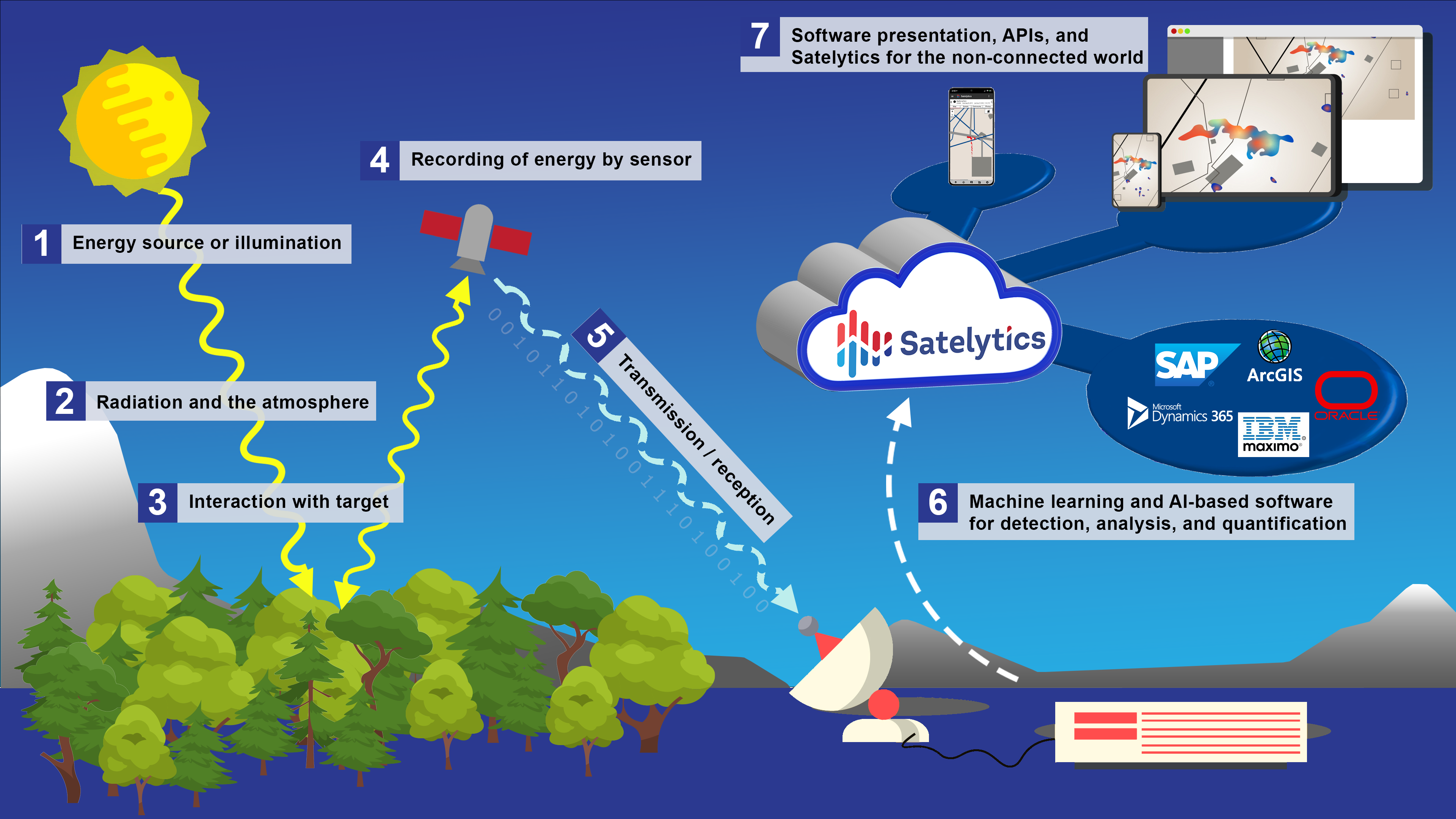
We began this series by talking about emissions — a frequent focus of company boardrooms everywhere. But Satelytics isn’t a one-trick pony. From one set of data, 40+ constituents and phenomena can be detected and, in many instances, quantified to solve multiple business challenges. Today’s focus is environmental stewardship and enhancing vegetation practices with geospatial analytics.
The carbon balance coin has two sides: output from human and natural activity and intake through photosynthesis and other natural phenomena. Renewed interest in vegetation-created carbon sinks has triggered rapid growth in the carbon offset industry. Satelytics’ customers now recognize value in their ROWs and forested lands, where previously, they saw only vegetation-related safety and operations concerns.

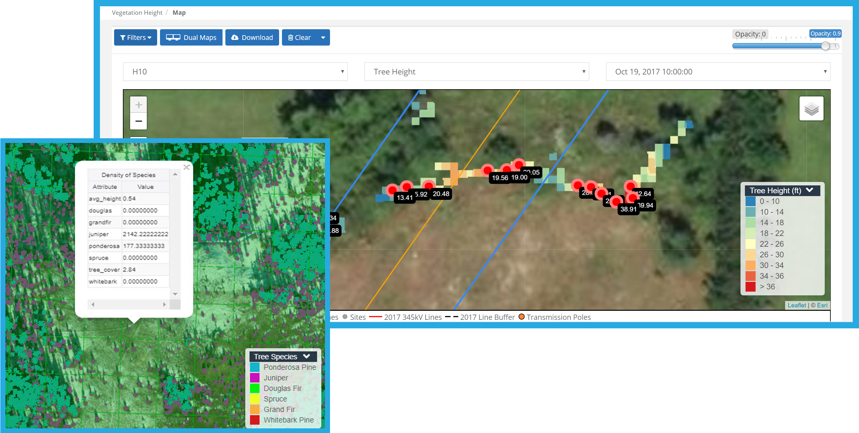
Satelytics provides vegetation surveys of large asset areas with accuracy and rapid results. Our vegetation algorithms were developed using experience gained in the electric utility corridor management sector so that we can provide land managers with tree speciation, height, density, and health. We task commercial satellites to collect high-resolution multispectral imagery to identify specific trees and measure their health and physical attributes. And it’s not just trees; we provide metrics for grasslands too.

Satelytics’ algorithms provide measurements for both sides of the carbon coin in parallel. Once the data has been captured, the applications are limitless!