• General

• General
Remote sensing, geospatial analytics, cloud data, artificial intelligence, machine learning… all these keywords are probably melding together as you search for a smart monitoring program. Why choose Satelytics? Check out what separates us from the rest!
1. Data Agnostic
Satelytics can process data collected from satellites, fixed-wing aircraft, UAVs, fixed cameras, and other sensor platforms. Our algorithms identify the unique spectral signatures of objects and chemicals within the data, analyzing every pixel every time.
2. High-Resolution Data
We use high-resolution imagery (30- to 50-cm for near-infrared, and 3.7-m for shortwave infrared). Don’t be deceived by firms promising results with low-resolution data (100-m, 50-m, or 25-m spatial resolution).

3. Customization
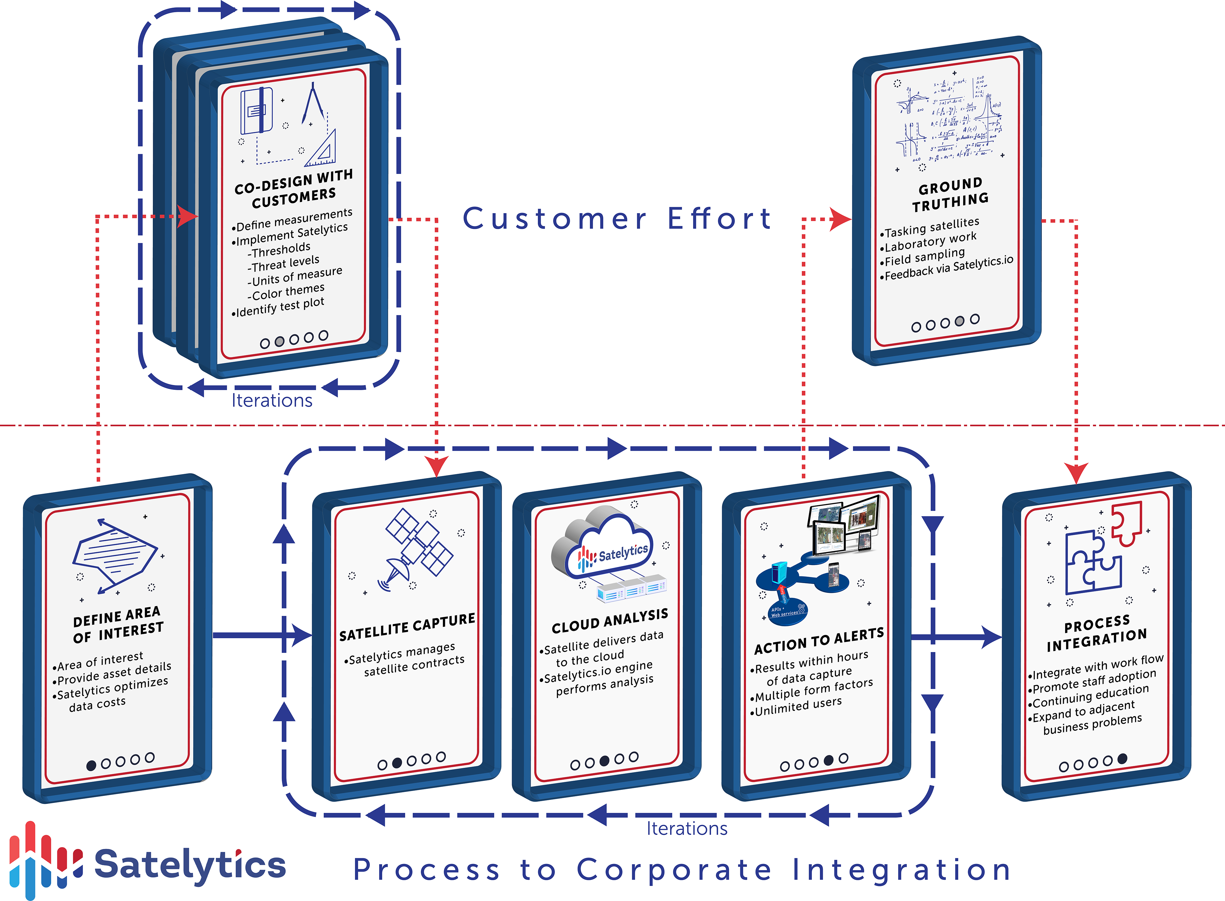
Our customers share with us their areas of interest, asset locations, and desired buffer zones. They determine the frequency of analysis, alert thresholds, and how alerts appear with the help of our Professional Services team.

A standard interface with a customizable presentation.
4. Actionable Alerts
Satelytics delivers actionable alerts on threats facing large infrastructure areas a few hours after gathering imagery. Analysis frequency is up to daily for any location on earth and is selected based on customer and project needs.
5. Cloud-Based
Satelytics is a cloud-hosted software suite. There is nothing to install on your corporate network. All data is uploaded to and stored in the cloud. Results are available via phone, tablet, or desktop, and can be downloaded as an Excel file or passed through to your internal software systems via an API.
6. Satelytics for the Non-Connected World
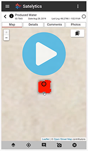
Our mobile platform utilizes the cache of your smartphone to provide access to Satelytics alerts in the field, even in areas without internet or cell service. Personnel can access alerts, record notes and photos, then synchronize all data collected in the field upon returning to the office.

7. Serving Only Industry
Satelytics creates solutions for power and gas utilities, oil & gas, pipelines, mining, specialty chemicals, forestry, and water/wastewater industries. We do not work for NGOs or regulators.
8. Pricing
Like our services, Satelytics works to optimize our pricing. We want as many business groups as possible to benefit from one set of data. That means whether you run one or 40 algorithms, the cost is the same. We also do not charge user license fees or limit the number of Satelytics users.
Of course, the benefits don’t stop here. Want to see more? Schedule a demonstration with Satelytics today!