• Power Utilities

• Power Utilities
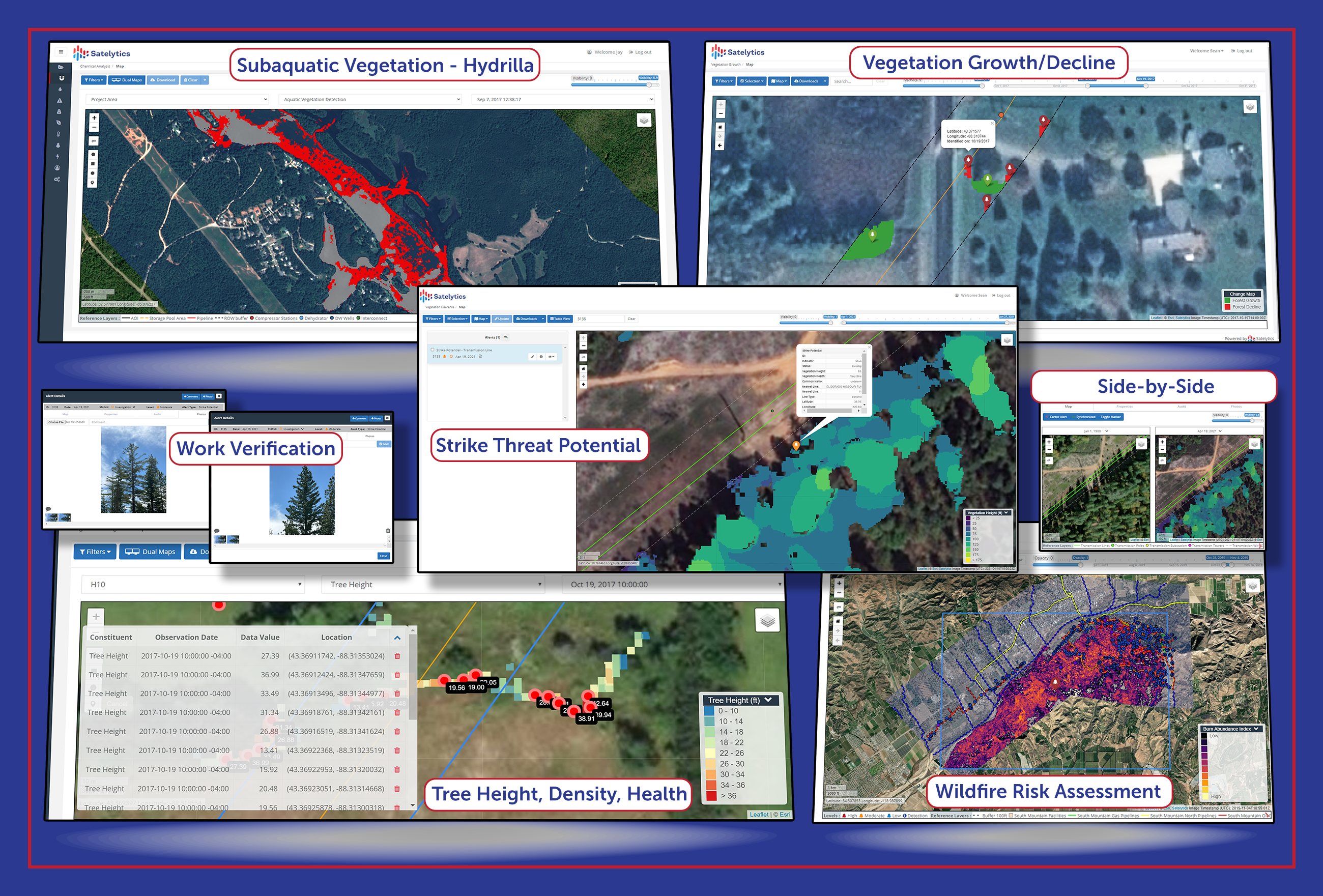
Although the focus of this series is vegetation, there are other areas within transmission and distribution services to which satellite monitoring can provide benefit. Your team responsible for maintaining infrastructure may be separate from the group monitoring vegetation, which may be different from your compliance team. Our goal at Satelytics is to provide solutions to multiple business groups within your organization — all from a single satellite image.
Today’s commercial satellites can detect distribution poles and transmission towers with high-resolution sensors. On a clear, sunny day, this ability might not seem useful, but in disaster response, the ability to locate and count damaged poles and towers before dispatching crews can mean lives saved. Satelytics detects physical damages such as poles snapped or leaning, damaged crossbars, and stemming from high winds or excess moisture. We also detect third-party encroachments and activities along substations and corridors. This data can be used to fill work orders and focus equipment allocation.

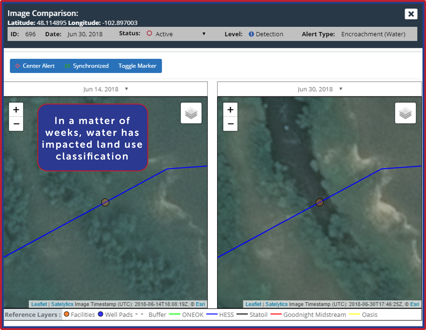
Erosion below transmission towers due to natural weather patterns and extreme events is a common occurrence. Satelytics alerts to loss of vegetation, elevation changes, and exposed soil: all conditions that introduce risk to infrastructure. Where corridors traverse wetlands and rivers — often high consequence and hard-to-reach areas — increased asset monitoring by remote sensing can be invaluable.

Risk is reduced when employees aren’t put in dangerous locations and situations. Many of our clients experience reduced insurance premiums as a result.
Infrastructure damage demands a timely response. With Satelytics’, the time from satellite overpass to results is mere hours, arming your teams with the latest information before getting into the field!