• General

• General
What interferences deter your routine monitoring and surveying programs? Do your ground crews find themselves dancing around fences, overgrown vegetation, precipitation, dogs, or protective landowners? What about drone and aircraft surveillance teams? Are they hampered by line-of-sight or flight-restricted airspace — especially in urban areas?
All of the above are obstacles our customers faced before coming to us for remote monitoring services. They needed a solution that wasn’t hindered by common constraints.
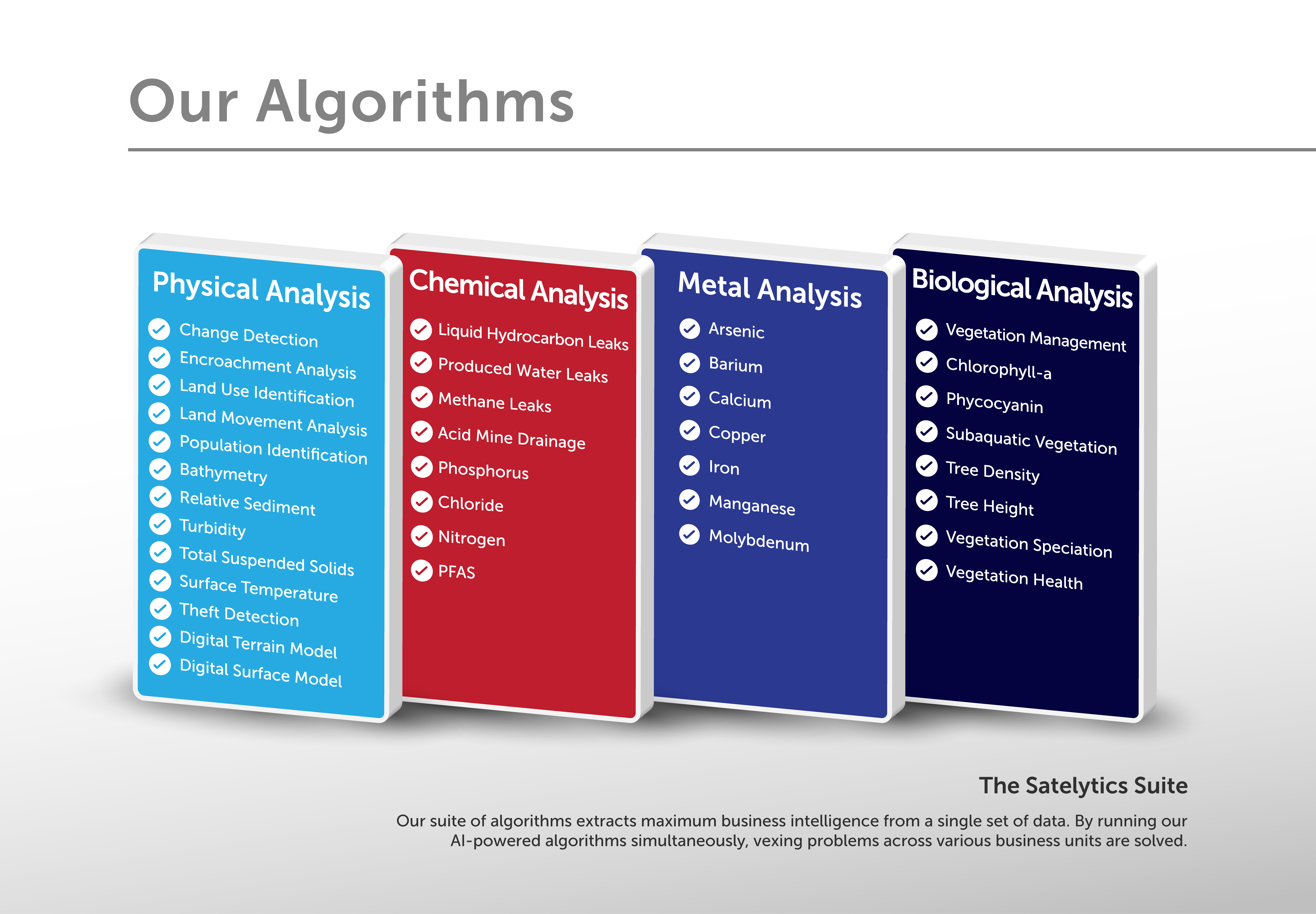
Satelytics’ geospatial analytics does the heavy lifting, monitoring large infrastructure areas and alerting to threats — avoiding these obstacles. Change detection, encroachments, land movements, vegetation speciation, leak detection, state of construction, and more can all be identified and quantified from a single set of data by our Constant Vigilance™ algorithms.

Our hassle-free monitoring services are provided when we analyze high-resolution satellite imagery. Satelytics acquires datasets specific to your unique business challenge via established relationships with leading commercial satellite vendors, which offers a greater opportunity to gather imagery at a higher frequency. Satellites pass over the entire planet daily and make multiple passes within a day in many areas — inhibited only occasionally by cloud cover. As imagery gathering frequency increases, cloud cover will become even less of an issue.

Satelytics’ Constant Vigilance™ alerts to system threats and disruptions without dispatching ground crews, trucks, or aircraft, eliminating the constraints and risks of these traditional monitoring methods. Looking for a better way to monitor your territories? Let’s talk.