• General

• General
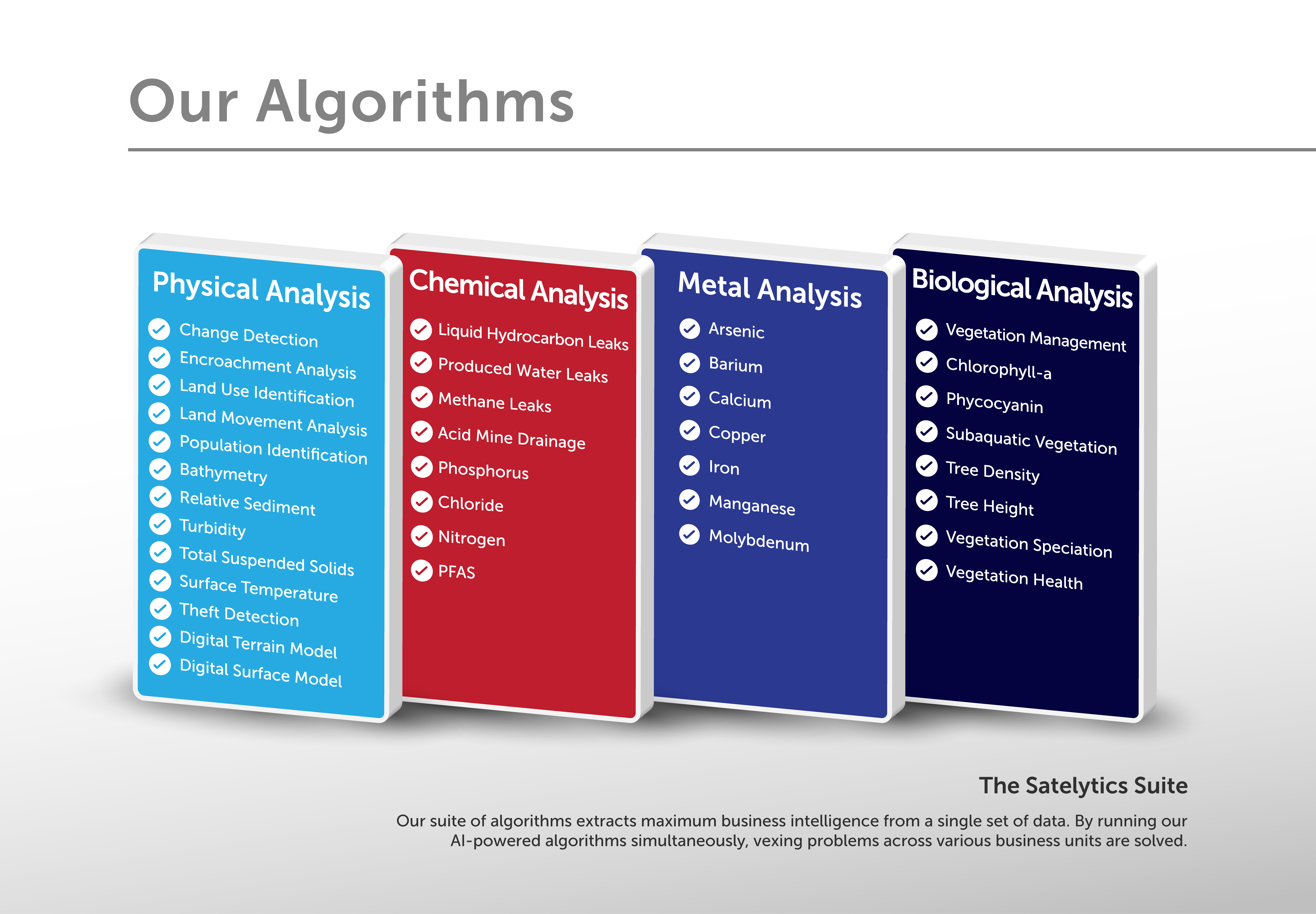
Satelytics delivers alerts to our customers as quickly as possible. Today, our suite of more than 40 algorithms delivers results to customers within a few hours after satellite overpass. There is growing interest from our customers in an element within this suite —digital surface models (DSMs). DSMs help us spot three-dimensional surface movements that introduce risk to your assets.

Satelytics' suite of more than forty algorithms.
Optical imaging capabilities of earth observation satellites have improved dramatically in recent years, primarily due to the increase of sensors gathering data from space and these sensors possessing higher spatial resolution. With stereo image gathering, a three-dimensional model can be built by our algorithms to alert to vertical positional changes.
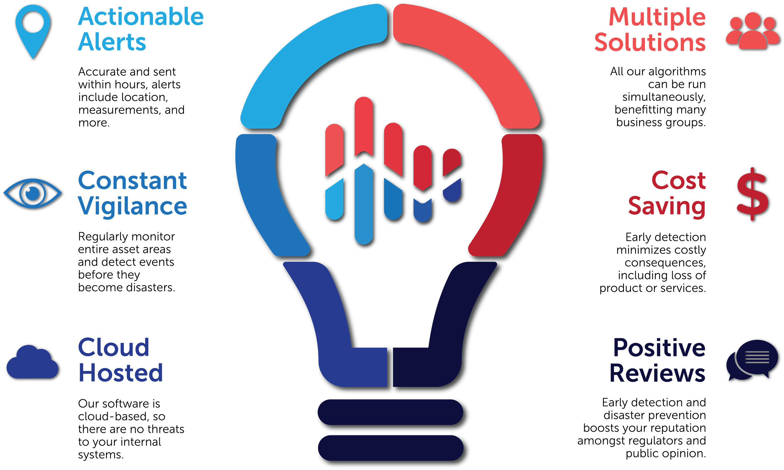
Satellites survey large land areas and quickly deliver data to the cloud, where our algorithms meet the data and analyze it quickly, making large geospatial datasets and actionable alerts derived from them easily retrievable. This alert speed is how Satelytics leapfrogs the traditional method of creating DSMs through LiDAR surveys, which requires lengthy gathering and processing times.

Advantages of Satelytics.
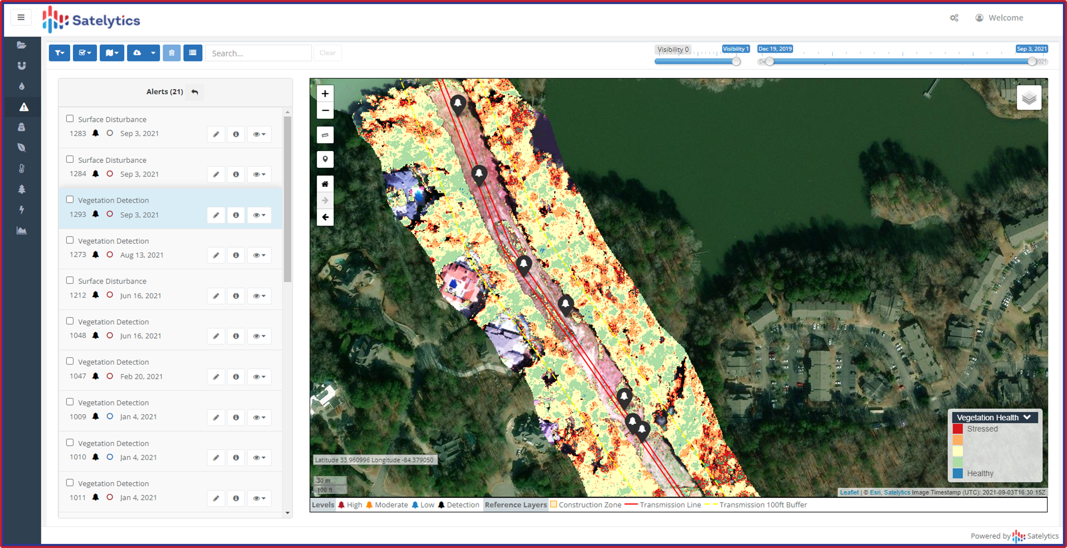
Further surpassing LiDAR, our two-dimensional change detection and vegetation management algorithms can run in concert with vertical models. For utility vegetation management, we don’t only measure tree height, but we also detect and monitor speciation, health, strike potential, encroachments, and illegal construction in corridors too. When monitoring pipelines, we can observe and measure slope subsidence and other surficial changes, like loss of cover and vegetation, water crossings, and right-of-way encroachments.

Monitor vegetation-related threats around your infrastructure and assets.
Don’t get caught reacting. Monitor and detect in two and three dimensions with Satelytics. Reach out today to learn more!