• General

• General
Satelytics’ utility vegetation management (UVM) suite allows corridor managers to rapidly survey their entire system. From this system-wide look, the data can be segregated to focused circuit areas, driving further value by allowing contractors to assign only the areas needing attention.
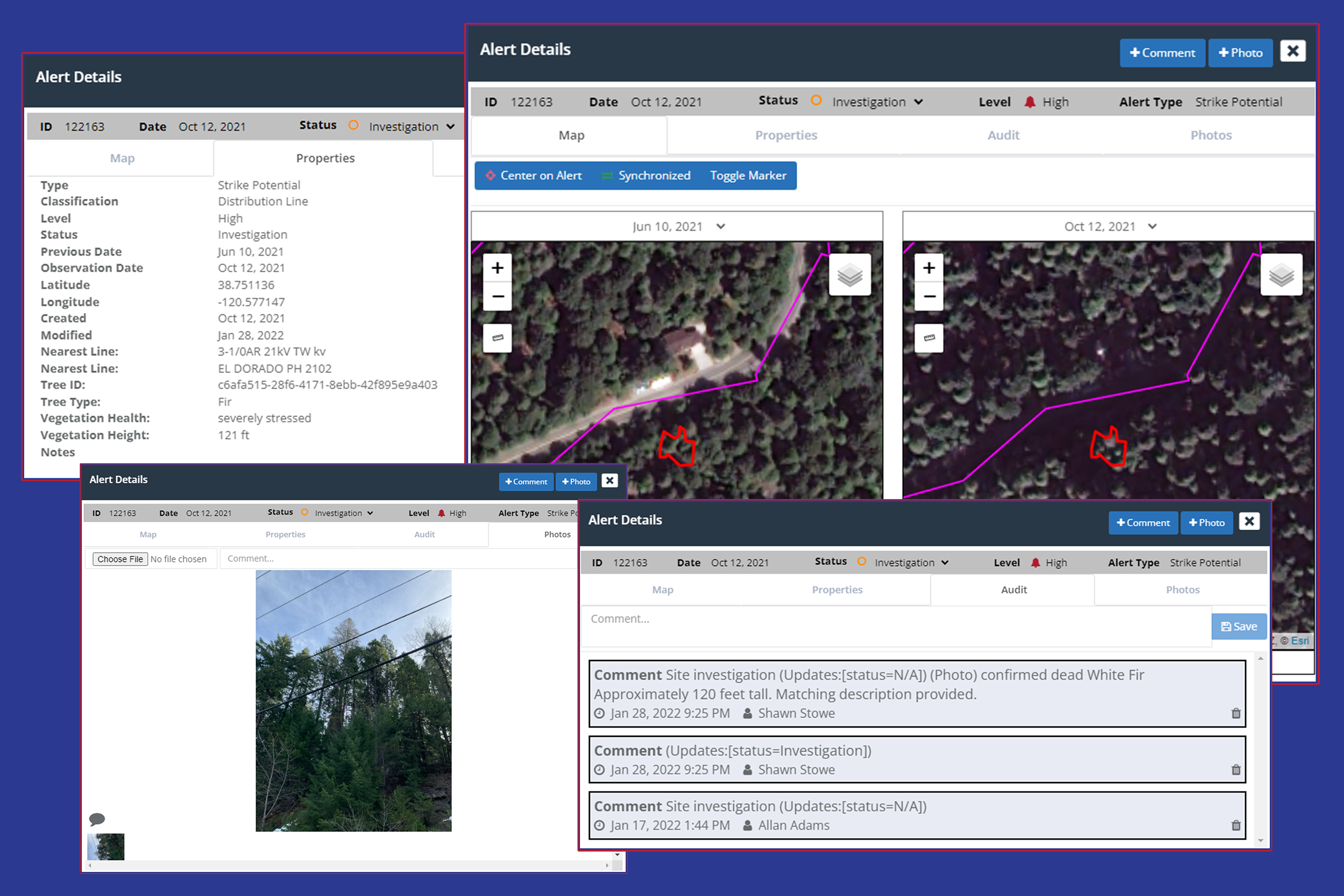
Satelytics orders commercial satellite imagery over our customers’ infrastructure. We are committed to providing the best data, purchasing high spatial resolution imagery (30-cm to 50-cm). One can only identify and measure objects larger than the imagery resolution — making 25-, 30-, and 100-meter resolution useless when trying to look at individual trees. With such fine resolution, our algorithms are able to measure the height and strike potential of trees encroaching on our customers’ assets.

Satelytics tracks individual trees identified as strike potential threats.
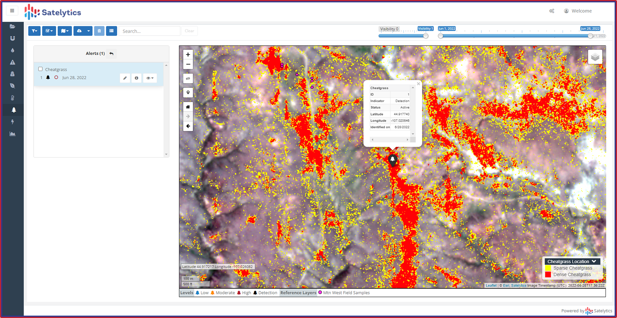
We also help customers identify specific species of trees and grasses that are susceptible to infestation and blight and monitor their health. For example, Satelytics worked with our customers to speciate and identify deciduous trees infected with the ash borer beetle and coniferous trees being attacked by bark beetles. Additionally, we monitor vegetation health in general, monitoring the growth and decline of forests and natural buffers.

Monitor tree and vegetation health along assets and buffer zones.
The results of Satelytics’ UVM surveys are also being used to follow up on contractor work — what we call work verification — ensuring customers can verify invoices from contractors.
Knowledge is power and information is liberating. Satelytics arms vegetation managers with alerts down to individual trees over their entire asset areas and directs attention to high-risk areas.