• General

• General
“Make the best decision you can with the data you have available.” This is the simple message every manager in this data-driven age should revisit. When was the last time you took a fresh look at what is available?
Geospatial analytics is in a rapid growth period, driven by science, digitalization, and space investment. Previously a nascent industry, it is now in full-scale adoption and streamlining operations for many industry customers.
What can geospatial data do for you?
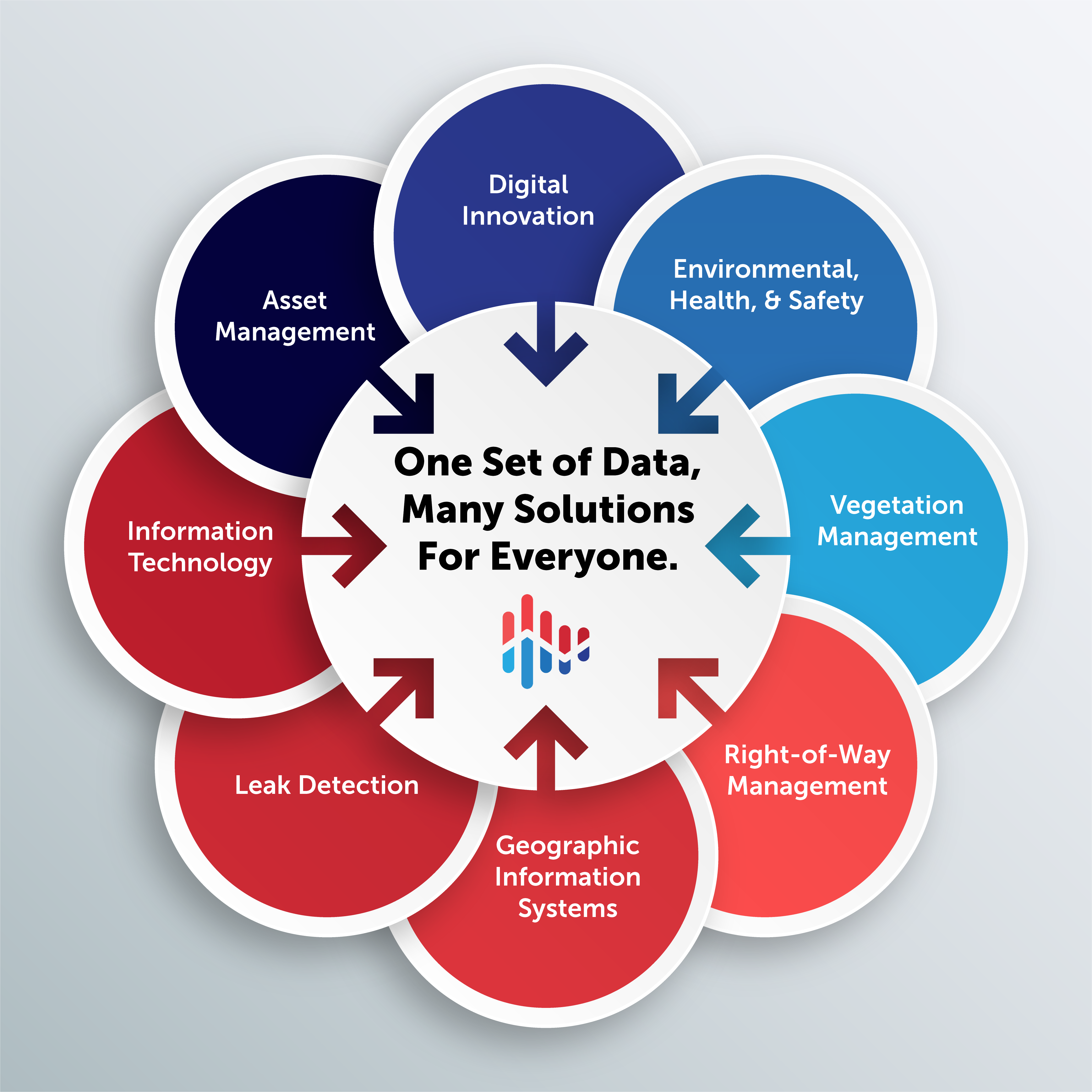
Satelytics’ solutions, powered by geospatial data, provide actionable alerts to threats facing large infrastructure areas. Our science professionals build algorithms that identify unique spectral signatures and their intensity when analyzing data from sensors onboard platforms such as satellites. This allows for detection and quantification of physical, chemical, metal, and biological phenomena and substances on land, water, and in the air.

We deliver alerts hours after imagery is gathered by commercial satellite vendors. Alerts include the problem and additional details, including exact coordinates and severity. Results are viewable on our cloud-hosted platform, with access for unlimited users within your organization for maximum integration and benefit.

Today Satelytics offers a suite of 40+ algorithms, each built to serve challenges brought to us by customers. Often working alongside our industry partners and customers, these algorithms are tested and calibrated in the field to ensure accuracy in detection and quantification.
What data streams feed your organization’s decision-making process? Geospatial analytics is revolutionizing the way asset supervisors manage large infrastructure areas. Find out what it can do for you. Request a personalized demonstration today!