• Pipeline Operators

• Pipeline Operators
Can your company answer these questions?
For many of Satelytics’ customers, a deep dive into the costs associated with routine monitoring has driven them to look for advanced technology to protect people, the environment, and the company’s bottom line.
We believe a satellite-based geospatial analytics program can help your company avoid these costs. Imagery can be gathered quickly and efficiently transferred to cloud servers for analysis by AI-powered Satelytics algorithms. Any area of any size can be monitored. Economies of scale are significant as the area increases. From a raw data input perspective, this positions satellite data streams well for routine monitoring programs.
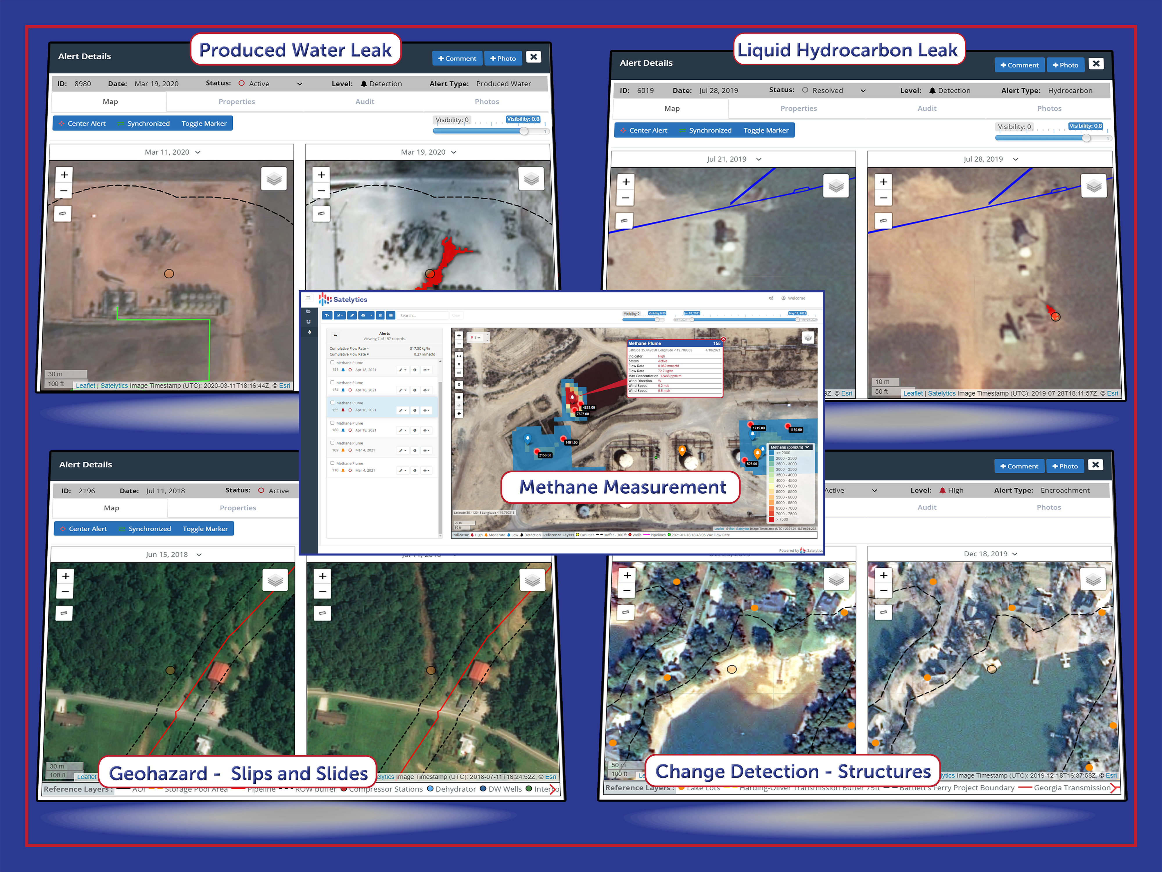
Satelytics AI-powered algorithms transform a satellite image into something actionable by delivering alerts and measurements directly to the experts in your company who can respond to the threats immediately. Our geospatial analytics detect and measure constituents in every single pixel over disparate assets every single time.

Holistic monitoring - protect against many threats with many analyses.
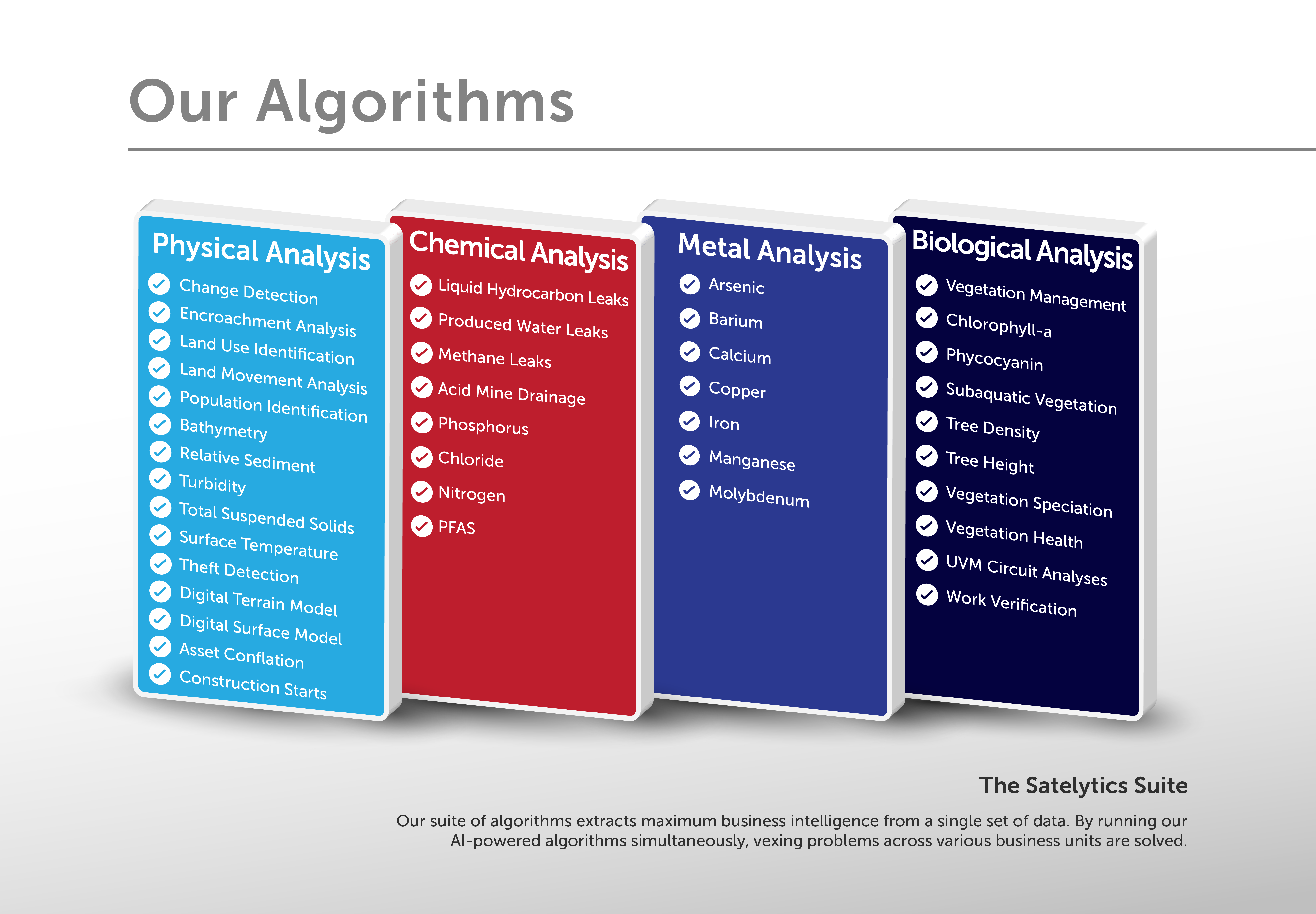
Today, we have 40+ algorithms that can be deployed in parallel, alerting us to threats as small as a square foot in size. We have analyzed trillions of pixels for our customers over the past ten years. This translates into industry-leading accuracy. Coupled with our rapid analysis, we strive to deliver alerts just hours after satellite overpass, enabling your expert teams to respond only to locations needing their expert and immediate attention.

Harness multiple algorithms to solve multiple challenges.
With all costs considered, Satelytics monitoring may be a more promising solution than you think for your company’s infrastructure. Call us today to explore an ROI specific to your situation.