• General

• General
Imagine using a tool that not only shows your commitment to reducing risk but also helps decrease your insurance premiums. Geospatial analytics is often recognized for its operational benefits, but its ability to cut insurance costs is less frequently discussed. For organizations managing assets like pipelines or power grids, these savings can add up to tens of thousands or even millions of dollars annually.
Insurance premiums represent a significant recurring expense for industry players in oil & gas, electric & gas utilities, and others. These costs are tied directly to your risk profile. The higher the probability of incidents — such as leaks, spills, or equipment failures — the higher your premiums climb. Conversely, like a gym membership discount for maintaining good health, insurers reward companies for proactively tackling risk. However, many organizations aren’t leveraging this opportunity either because they are unaware of the benefit or they’re not equipped with the right tools to demonstrate their proactive measures.

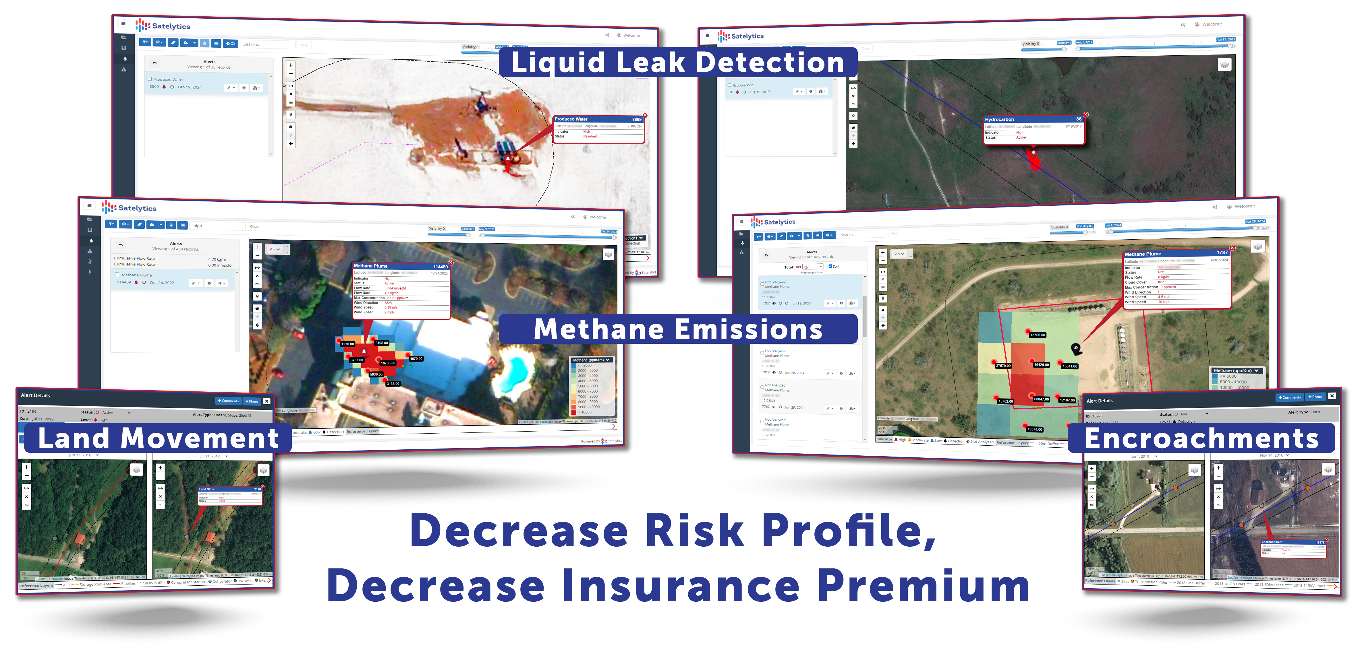
Satelytics empowers businesses to control their risk profiles with advanced geospatial analytics. By using spectrometry to identify and prevent issues, companies can manage their assets more effectively while showcasing responsible practices to insurers. Satelytics' algorithms monitor vast infrastructures like pipelines, power grids, and waterways. Our technology delivers alerts within hours of obtaining the data and imagery from satellites. This speed is what has grabbed the attention of insurers and reinsurers.
When reinsurers recognize your commitment to reducing risks with technology like ours, they often see your business as a lower liability. This directly translates to measurable incentives, such as decreased premiums. The advantages transcend financial incentives. Implementing geospatial analytics demonstrates to regulators, investors, and the public that your company actively invests in safety and environmental stewardship. This strengthens not only your operation but your reputation.
It’s a classic win-win scenario.
If your company hasn’t yet discussed geospatial analytics with your insurers, you might be leaving money on the table. Contact us today to learn how Satelytics can help you showcase proactive risk management, save on premiums, and fortify your operations.