• Power Utilities
• Power Utilities
For many years, managing vegetation in utility corridors has been focused on the height and location of trees. LIDAR brings accurate measurements of the height of trees and land surface of utility and pipeline corridors (eventually), but is that enough to assess the risks posed to utility infrastructure?
Satelytics’ brand of geospatial analytics delivers more than just height, location, and surface measurement. We provide actionable alerts and measurements via a suite of algorithms to address a host of business challenges, all from a single set of satellite data for a single cost.
Satelytics sources high-resolution satellite imagery for our customers’ asset areas. Customers tell us when and where to look, then we return alerts in a timely manner after the satellite overpass. The alerts are based on tree height, location, speciation, and health; terrain undulation; line sag, sway, blowout, and voltage; and local weather conditions. In other words, our vegetation management software accounts for much more than just static positional information and can be offered at any frequency deemed necessary by the customer.
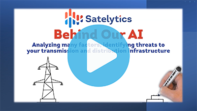
A short video explainer of Satelytics' approach to vegetation management.
Satelytics measures tree height within 5% of actual and location down to a square foot so individual trees and even branches can be identified. While this does not approach the vertical precision offered by LIDAR, many customers express frustration that accurate LIDAR measurements are no longer accurate when they receive the data months later.
But that is just the tip of the iceberg.
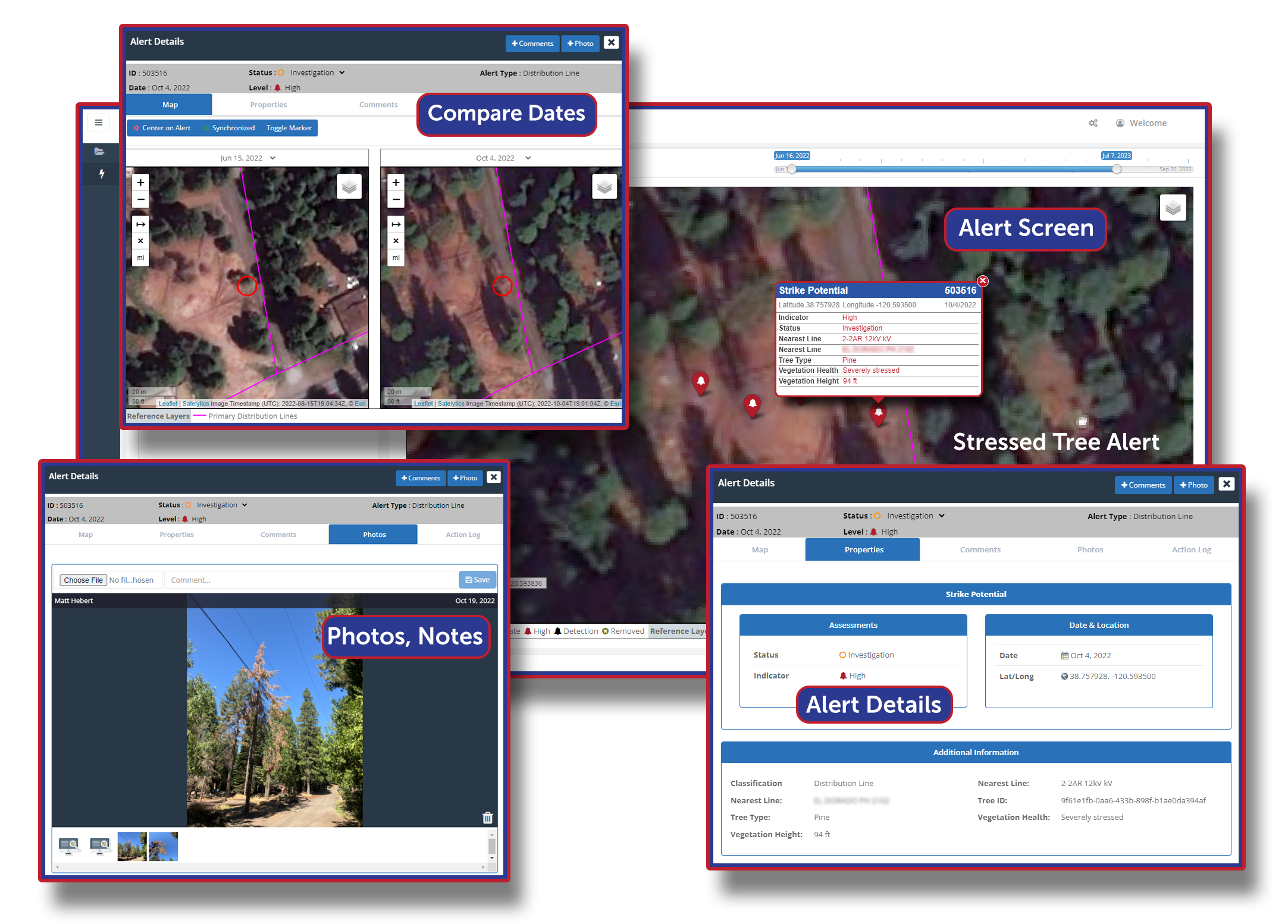
Strike potential alerts in Satelytics.
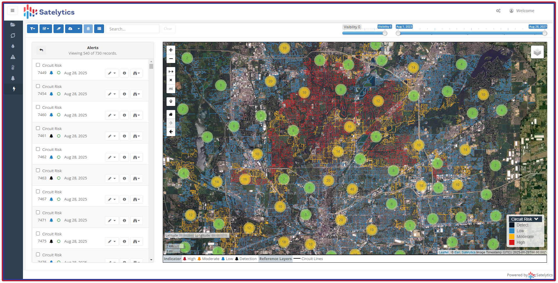
Circuit risk assessment in Satelytics.
Satelytics UVM platform brings an à la carte offering without à la carte pricing. Customers can choose which of our 40+ algorithms to employ and reap the rewards of enhanced oversight over transmission and distribution assets. Any of the above solutions can be harnessed in parallel for a single cost.
Geospatial analytics for utility corridors can return so much more than tree height. Call us to explore how we can help you across multiple problem sets.
We use cookies to analyze our web traffic and to enhance your experience. By continuing to view this website, you agree to our use of cookies.
Our Privacy Policy