• Power Utilities,Forestry

• Power Utilities,Forestry
“You can tell the species of individual trees from satellite imagery?”
“Yes!”
This is a common first-time exchange with asset managers exploring geospatial analytics for their unique business challenges. Speciation is an important attribute to understand for any forester or utility. As blights move through regions, they discriminate between tree species, introducing risk to overhead utilities and stand health. Environmental pressures like wet and dry cycles also affect trees to varying degrees, based on species.

Satelytics monitors vegetation across the United States and in locations worldwide. Our algorithms analyze spectral signatures and their intensities to differentiate species of trees. This same technology also identifies species of brush and grasses. As a result, we have a large, ever-growing spectral library of vegetation species for identification.
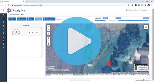
Satelytics is data agnostic, analyzing imagery from any number of vendors in the cloud. Our algorithms process hundreds of square miles of imagery with resolution fine enough to identify individual trees and alert asset managers to their species, height, and health. Alerts and analysis results are returned a few hours after satellite overpass, making the data useful in planning pruning campaigns and their frequency and prioritizing operational efforts.

There is much a tree’s species can tell you. Asset managers benefit from this data and more provided by Satelytics. Schedule a demonstration today to experience the power of Satelytics.