• General

• General
Summer is quickly arriving. As we turn up the air conditioning and enjoy the flowing fountains and sunshine outside of our Northwest Ohio office, the Satelytics team is hard at work. This time of year, we hear a lot from customers preparing to ward off wildfires. Analysis of satellite data streams is uniquely suited to provide both predictive and post-fire assessments.
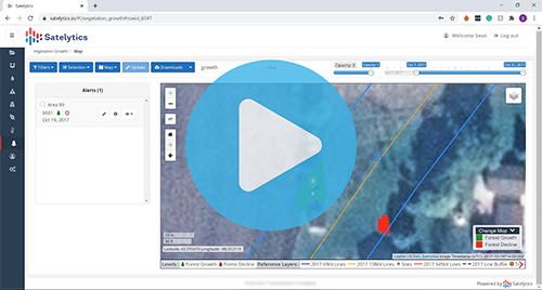
Satelytics’ solutions provide data to get ahead of wildfire threats, guiding where resources should be directed along corridors and rights-of-way (ROWs). Our Constant Vigilance™ algorithms for vegetation provide detection and measurement of physical characteristics, as well as identification of speciation and health. Satelytics analyzes high-resolution data, offering accurate insights on the encroachment of trees and limbs, in addition to tree height within 5% of actual height.

Satelytics also speciates invasive grasses and brush, whose short growing periods have fueled an increase of wildfires in the western United States in recent years. Combining physical attributes of vegetation with speciation and health metrics, asset managers receive the data they need to assign crews for selective harvesting and predicting areas where risk is greatest both on and off ROWs.

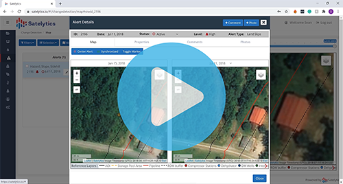
In the occurrence of a wildfire, Satelytics quickly assesses how infrastructure and asset territories have been affected. We survey infrastructure to see the extent of asset damages, counting and assessing utility towers and poles and oil & gas equipment like pumps and compressor stations. The other half of our wildfire solution assesses how the land has been affected. Satelytics deploys algorithms to identify burn scars, loss of cover, downed trees, geohazards, and land movement.

As always, time is money. Satelytics can execute a survey with only 24-48 hours’ notice, with alerts delivered a few hours after satellite overpass, so vital infrastructure can be tended to as soon as possible. Though wildfires can be unpredictable, steps can be taken to protect infrastructure and minimize damages should one occur. Request a demonstration today to learn how!