• General

• General
Five years ago, geospatial analytics was primarily discussed at tech conferences and in futurist predictions. Now, it's a boardroom staple. Oil & gas companies, pipeline operators, electric and gas utilities, water/wastewater companies, and even ranchland managers are scrambling to integrate these powerful tools into their operations. The message is clear: if you're not leveraging geospatial analytics in your planning, you're already behind the curve.
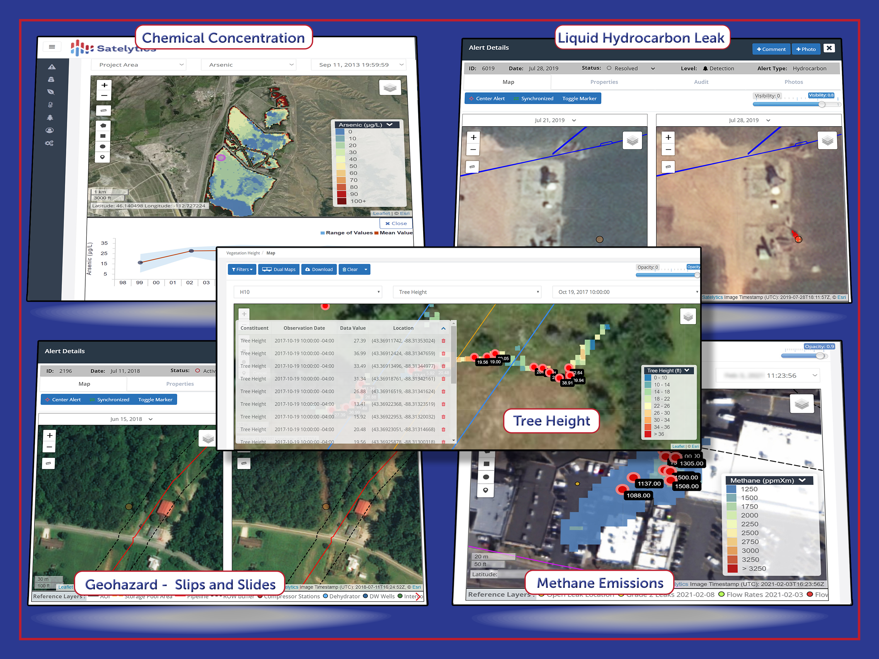
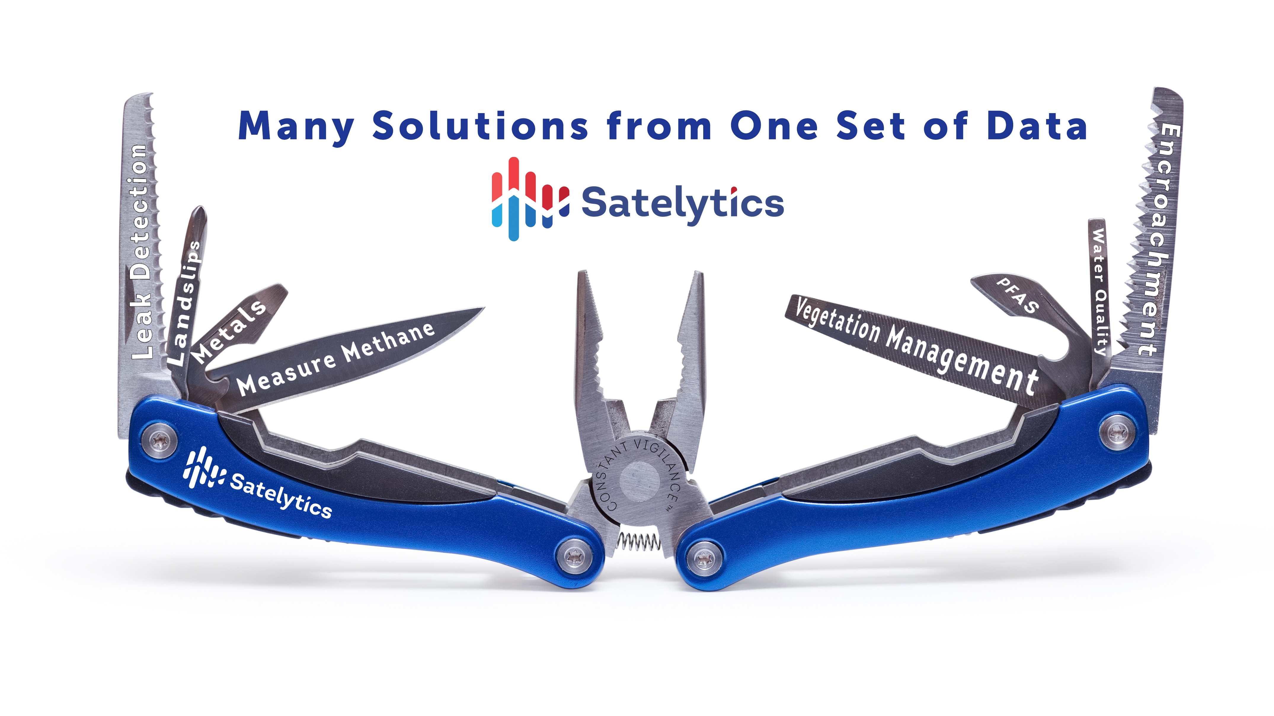
Satelytics has been ahead of this shift for years, repeating a mantra that's resonating across industries: solve many problems simultaneously by analyzing the same set of data in multiple ways. It's not just about efficiency; it's about unlocking hidden potential in every pixel of data. Imagine having a Swiss Army knife for your business challenges. That's exactly what our geospatial analytics platform offers:

Multilateral geospatial analytics address your company's many problem sets.

Don't purchase single-problem solutions... get more from that single set of data.
As part of a years-long commitment, a major utility company continues to leverage our analytics to scan their entire service territory for methane leaks, construction starts, encroachments, and more. The results are impressive. We have identified over 57,000 methane leaks and helped the utility connect services to new developments faster. We have helped them reduce their backlog of leak detection and repair LDAR investigations from thousands to less than a hundred. We also dove in to help them assess damage after two powerful hurricanes delivered unprecedented damage to North Carolina and Florida. That's the power of proactive, multilateral geospatial intelligence.
The geospatial analytics revolution isn't coming – it's here. Industry leaders are already reaping the benefits:
Don't let your company be left in the dust. The future of business is being written in the language of geospatial data, and Satelytics is fluent. Contact Satelytics today and discover how our cutting-edge analytics can transform your operations, boost your bottom line, and set you on the path to a more sustainable, efficient future.