Company
Keeping heads above water with satellite image analysis
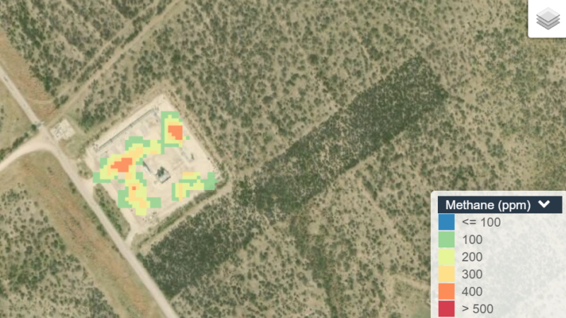
Satellite image analysis companies like Satelytics are offering utilities a new perspective on their networks.
While many utilities turn to permanent...

Satelytics Uses Big Data to Tackle Environmental Issues
Big Data analytics, which can’t be conducted using traditional methods, provides tremendous insight and value to businesses, making it one...

Laboratory in the Sky: Blue Water Satellite Uses Satellites to Spot Contaminants
In late summer 2014, people in Toledo, Ohio were faced with a harsh reality. Because of an algae buildup in...
Blue Water Satellite sheds light on the state of land and water resources using Google Maps
At Blue Water Satellite (BWS) we use satellite imagery to monitor the world's land and water resources. Our goal is...

Blue Water Satellite Scans Toxic Algae Blooms From Space
Using satellites helps us monitor everything from animal migrations to forest cover to water supply levels. And now Blue Water...
Algae Eye in the Sky: Blue Water Satellite Hunts for Toxic Blooms From Space
Evaluating water pollution is a tedious process. Scientists scoop up small samples in a jar and take them back to...


