Press Release
Satelytics’ PFAS Solutions Will be Presented at the 4C Conference
Toledo, OH – February 19, 2020, Satelytics CEO Sean Donegan will be speaking at the 4C Conference in Austin this week about Satelytics’ remote sensing capabilities for PFAS. In conjunction with one of our oil and gas customers, Satelytics has developed an algorithm capable of identifying PFAS on the ground via satellite or other aerial platform. PFAS results will be available in both location and magnitude.
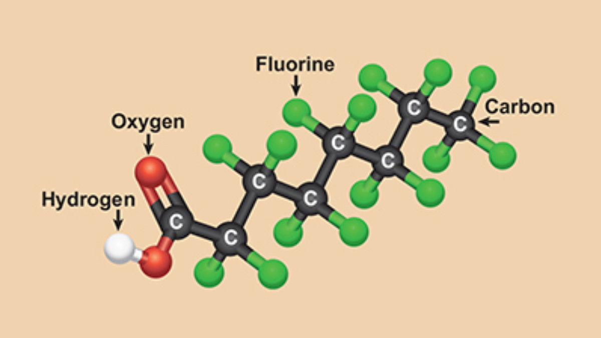
PFAS is a family of known carcinogenic compounds that is a component of firefighting foams and various industrial chemicals. These compounds have seen widespread use in industrial facilities, airports, and military bases. The PFAS family of compounds are sometimes referred to as “forever chemicals” because of their extremely long stable lifetime both in the environment or as a bio-accumulative in animals or humans.
Like all Satelytics’ measurement techniques, PFAS alerts will be available for customers to review on our cloud-based interface with all results available for download to a customer’s internal API platform. This solution, along with our other offerings are available to any number of internal users for our clients, thus breaking up costs amongst their working groups.
Satelytics Inc., www.satelytics.com is a cloud-based geospatial analytics software suite. Multi or hyper-spectral imagery is gathered from satellites, UAV, planes, and fixed cameras, and processed to provide both alerts and qualitative results for our customers. Data can be gathered on up to a daily basis and results sent to customers in hours. This includes the specific problem, location, magnitude, and even qualitative information, which minimize cost, impact, and operational disruption for our clients.
For more information, contact David Dunham, ddunham@satelytics.com, (o) (419) 728 0060 extension #101, (c) (701) 213 0294.
